

I remember sitting in a damp community hall in 2014, watching a group of well-meaning neighbors scramble through a pile of glossy, outdated council brochures, looking for answers that just weren’t there. They were looking for a miracle, but what they actually needed was a map and a bit of grit. People often think that figuring out how to find local flood information requires a degree in hydrology or a massive budget for private consultants, but that is a complete myth. Most of the time, the most vital data isn’t hidden behind a paywall; it’s just scattered across three different websites and a dusty noticeboard at the library.
I’m not here to give you a lecture on climate science or sell you on expensive sensor technology. My goal is to show you how to cut through the bureaucratic noise and gather the facts yourselves. I am going to walk you through the practical, boots-on-the-ground methods for locating reliable data so your street isn’t caught off guard. We aren’t waiting for a formal report to land on our doormats; we are going to find out exactly what we’re up against, one reliable source at a time.
Understanding How to Find Local Flood Information
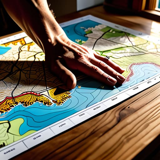
Now, you can’t just rely on the evening news to tell you if your street is at risk; by then, the water is already at the doorstep. In my years at the council, I saw too many residents surprised because they hadn’t looked at the official paperwork. The first place you need to go is the government’s digital archives to find your specific flood zone maps. These aren’t just colored lines on a screen; they are the blueprint of your neighborhood’s vulnerability. I always tell my neighbors to print a copy out and keep it in a physical folder—digital files are no good when the power goes out.
Once you have the maps, you need to look at the technical side, specifically the local river gauge levels. This is how you move from being reactive to being prepared. If you know the river is creeping up toward a certain mark, you aren’t guessing anymore; you’re acting on data. I’ve found that most people overlook the finer details of their flood insurance requirements, but understanding those nuances now is much easier than trying to explain a lack of coverage to an adjuster after a storm has passed.
Key Things to Know
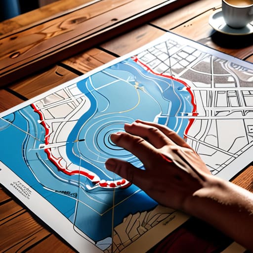
Now, before you start making phone calls or scouring the internet, there are a few practical realities you need to wrap your head around. First, don’t just look at a general weather report; you need to get your hands on the specific flood zone maps for your exact street. I’ve seen too many committees spend months planning a community garden, only to realize later they were sitting right in a high-risk drainage path. It’s much better to find that out now than when the ground is already turning to mush.
You also need to keep a close eye on the technical side of things. If you live near any running water, knowing how to check local river gauge levels is a vital skill for any neighborhood warden. It’s not just about knowing if it’s raining; it’s about knowing if the river is actually rising toward your doorstep. I always tell my neighbors that information is only useful if it’s timely. If you aren’t watching the gauges, you’re essentially flying blind, and in my experience, that’s exactly when the most preventable mistakes happen.
Practical Tips and Steps
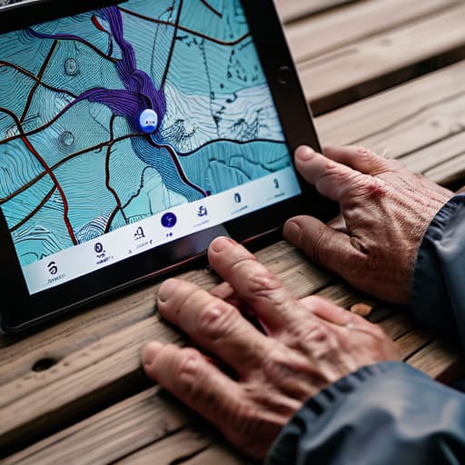
Now, all this theory is fine, but it doesn’t help much when you’re standing on your porch watching the clouds turn that heavy, bruised purple. You need a plan of action. I always tell my neighbors: don’t just wait for a siren. Start by sitting down with a printed copy of your area’s flood zone maps. Don’t rely solely on a smartphone screen; if the power goes out or the signal drops, you’ll want that physical paper in your hand. Once you know where you stand, make it a habit to check the local river gauge levels every evening during the wet season. It takes two minutes, but it gives you a sense of the rhythm of the water that a generic news report simply can’t match.
Next, get your small group organized. I’ve seen too many lovely initiatives crumble because no one took the lead on communication. Assign one person to monitor emergency weather alerts and another to keep a log of when the water starts creeping up the driveway. If you can, reach out to your local community emergency management agency to see what specific protocols they have for your street. Writing these steps down in a shared notebook—the kind I keep for my committee minutes—ensures that if one person is away, the rest of the group isn’t left in the dark.
Common Mistakes to Avoid
One mistake I saw constantly during my years in local government was the tendency to rely on a single source of truth. People would check one website and assume they had the full picture, only to be caught off guard when the situation changed. It is a mistake to treat flood zone maps as static documents; they are snapshots in time, not permanent guarantees. If you aren’t cross-referencing your data with real-time updates, you’re essentially flying blind.
Another pitfall is the “wait and see” approach to documentation. I’ve seen many small community groups dissolve because they didn’t establish a clear protocol for monitoring local river gauge levels before the crisis actually hit. Don’t wait for the rain to start falling to figure out who is responsible for checking the sensors or who is tasked with distributing the news. You need a designated person—and a written plan—to ensure that information moves from the official agency to your neighbors’ doorsteps without any delay. Relying on luck is not a community management strategy.
Final Thoughts
At the end of the day, knowing where the water goes isn’t just about checking a website; it’s about looking out for one another. I’ve spent decades in local government, and I can tell you that the most resilient streets aren’t the ones with the best technology, but the ones where neighbors actually talk to each other. Once you’ve sat down with your flood zone maps and understood the basics, don’t just tuck that information away in a drawer. Share it.
If you can, get a small group together—just four or five people—to set up a simple system for monitoring emergency weather alerts for your specific block. It doesn’t need to be fancy. You don’t need a massive budget or a formal committee; you just need a shared understanding of when to move the cars or check on the elderly lady at number forty-two. Preparation is a quiet, steady habit, and if you start building that habit now, you won’t be scrambling when the clouds finally turn grey. Let’s make sure we’re ready before the rain starts.
My Five Golden Rules for Gathering the Facts
- Don’t just rely on the big government websites; go straight to the source by calling your local council’s environmental officer. They often have the “boots on the ground” data that hasn’t been uploaded to a glossy portal yet.
- Start a simple shared folder—a physical one if you have to—where neighbors can drop printouts of flood maps or local news clippings. Information is only useful if it’s centralized and doesn’t disappear into a single person’s kitchen drawer.
- Talk to the older residents on your street. I’ve found that a retired person who lived through the floods of ’87 knows more about where the water actually pools than any digital topographical map ever will.
- Sign up for the text alerts, but don’t stop there. Set up a WhatsApp group specifically for weather updates so you can verify if a “warning” is actually affecting your specific postcode or if it’s just general regional noise.
- Keep a logbook of every piece of information you find. If you find a map that shows a new drainage issue, write down the date you saw it and who gave it to you. When the committee meets to discuss action, you’ll need those facts to be solid.
The Paper Trail of Safety
Don’t just wait for a siren or a notification on your phone; you need to know exactly which council maps show the rising water lines for your specific street, because by the time the official alerts arrive, the time for planning has already passed.
Deborah Castellanos
A Final Word Before You Get to Work
Looking back at everything we’ve covered, it really comes down to one thing: information is only useful if you actually know where to look and, more importantly, how to share it. We’ve talked about navigating those official government websites, keeping an eye on local weather alerts, and—most crucially—avoiding the trap of assuming someone else is already doing the legwork. Don’t fall into the habit of waiting for a formal notice to arrive in your letterbox. Instead, make it your mission to understand the maps and the specific risks facing your particular street. If you can find the data, you can prepare for it, and if you can prepare, you can protect your neighbors.
I’ve seen too many wonderful neighborhood initiatives crumble simply because people felt overwhelmed by the sheer scale of a problem like flooding. But remember, you don’t need to be a hydrologist to make a difference; you just need to be organized. If you can gather a small group of residents and ensure everyone knows which digital tools to monitor, you have already done more than most. Knowledge is the foundation of resilience. Take what you’ve learned here, write it down in your group’s notes, and start building a community that is ready for whatever comes with the next heavy rain.
