
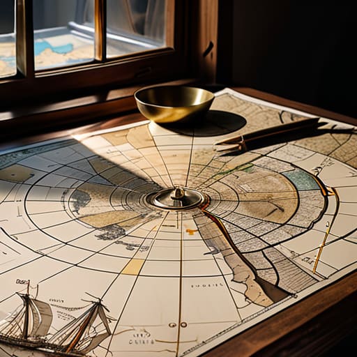
I remember sitting in a drafty basement archive back in ’94, surrounded by the smell of damp paper and stale tea, trying to prove to a stubborn council committee that our local park hadn’t always been a concrete wasteland. People often think that learning how to use old maps requires a degree in cartography or a massive budget for digital scanning services, but that is a complete nonsense. You don’t need fancy software or a university grant to find the truth; you just need a bit of patience and the right way to look at a piece of paper.
In this post, I’m going to show you the practical, boots-on-the-ground method for turning those dusty scraps into real evidence for your community projects. I won’t be wasting your time with academic jargon or expensive gadgets. Instead, I’ll walk you through exactly how to use old maps to uncover forgotten footpaths, identify lost green spaces, and build a case that even the most stubborn local councillor can’t ignore. We are going to find the blueprint for change hidden in those old ink lines.
Paper Trails and Power Plays How to Use Old Maps
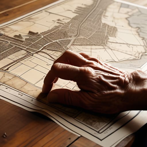
When I was working in regeneration, I learned that you can’t fix a neighbourhood if you don’t understand its bones. That’s where the real work begins: moving past the glossy, modern GIS layers and getting your hands on something tactile. I’m talking about locating historical landmarks that have been swallowed up by new developments or overgrown by brambles. You aren’t just looking at pretty drawings; you are looking for the ghosts of old footpaths, forgotten wells, or the exact spot where a community garden used to thrive before the council paved it over.
It isn’t always easy, though. You’ll find yourself squinting at faded ink and reading antique map legends that seem to belong to a different language entirely. You have to learn to see the intention behind the lines. I often tell my committee members that a map is a piece of evidence, much like the minutes I collect. If you can prove a certain area was once a communal gathering space, you have a much stronger argument when you sit down across from a planning officer to ask for a grant.
Deciphering the Code Reading Antique Map Legends for Truth
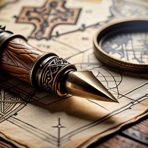
Now, don’t let those swirling flourishes and tiny, faded symbols intimidate you. When I first started looking at these old sheets, I thought they were more art than information. But if you spend a bit of time reading antique map legends, you’ll realize they are actually quite literal. A little symbol that looks like a decorative swirl might actually be a specific type of woodland, or a tiny cross might mark a well that dried up eighty years ago. You have to treat the legend like a decoder ring; it’s the only way to know if that smudge on the parchment is a new housing estate or just a coffee stain from a surveyor in 1924.
I’ve found that the real magic happens when you start interpreting topographical changes against what we see out our front windows today. If a map shows a stream running right through what is now a paved-over car park, you’ve found your first piece of evidence for a local greening project. It’s about looking past the aesthetic and finding the structural truth of the land. Once you understand what the symbols are actually claiming, you stop guessing and start building a case.
Mastering Historical Cartography Techniques to Reclaim Your Street
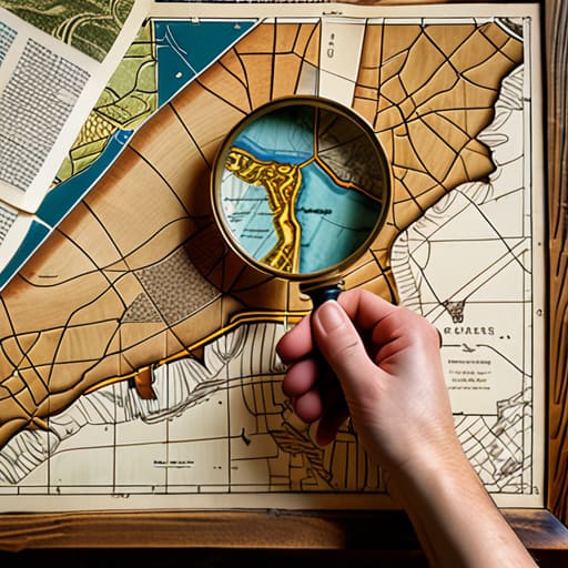
Once you’ve learned to read the legends, the real work begins: moving from looking at a pretty picture to actually using it as a tool for your committee. I often tell my neighbours that you shouldn’t just stare at the ink; you need to start interpreting topographical changes to see why a certain corner feels neglected or why a path suddenly ends in a hedge. If you can show the council that a specific green space was a formal allotment in 1920, you aren’t just making a suggestion—you are presenting a historical claim for the community’s use.
Don’t let the fear of technology stop you, either. You don’t need a degree in geography; you just need a steady hand and a bit of patience for digitizing vintage maps so you can overlay them onto modern Google Earth views. When I see a modern street layout superimposed over an old parish sketch, the “missing pieces” of our neighbourhood become obvious. It turns a vague feeling of “this area needs help” into a documented, undeniable fact that even the most stubborn local councillor can’t ignore.
Tracing Bloodlines Through Deep Genealogy Research With Maps
Now, this is where things get a bit more personal, and perhaps a little more emotional. When I was working in regeneration, I often found that a street wasn’t just a collection of bricks; it was a living lineage. By combining genealogy research with maps, you start to see the faces behind the property lines. You aren’t just looking at a plot of land; you’re looking at where the Miller family lived for three generations before the blitz, or where the old bakery stood. When you overlay a family tree onto an old parish map, you stop seeing “development zones” and start seeing human stories.
It’s a powerful tool for community cohesion. If you can show a group of neighbours that their houses were once part of a shared common or a specific artisan’s row, it builds a sense of stewardship. I’ve found that interpreting topographical changes alongside census records can reveal why a certain alleyway exists or why a garden feels so sunken. It’s about proving that we aren’t just random arrivals on a street, but part of a long, continuous thread. Once you find that connection, it’s much harder for people to let the neighbourhood fall into disrepair.
Locating Historical Landmarks and Interpreting Topographical Changes
Once you’ve got the maps spread out on the kitchen table, the real work begins: locating historical landmarks that have since vanished beneath a layer of tarmac or a new housing estate. I remember working on a regeneration project in my old borough where we couldn’t find the original boundary of a community garden. It turned out the “lost” space was actually a former orchard, clearly marked on a hand-drawn survey from the 1920s. When you start interpreting topographical changes, you aren’t just looking at lines on paper; you are seeing how the very bones of your neighbourhood have shifted.
Don’t be discouraged if a field on a map from 1950 is now a supermarket. By comparing these layers, you can identify where old footpaths used to run or where a stream once dictated the slope of the land. This isn’t just academic exercise; it’s about understanding the natural logic of your street. If we know where the land used to drain or where the old village green sat, we can make much better arguments to the council when we want to reclaim a bit of green space for the residents.
Digitizing Vintage Maps to Build Your Neighborhood Blueprint
Now, I know what you’re thinking: “Deborah, I can’t exactly carry a fragile, hundred-year-old parchment into a committee meeting to show the council.” And you’re right. You can’t. If you want to move people to action, you need something they can actually see on a tablet or a projector. Digitizing vintage maps isn’t just about making a pretty picture; it’s about making the history portable. I always tell my volunteers that a map tucked away in a dusty archive is useless to a modern planning committee. You need to get that information into a digital format so you can overlay it with modern satellite imagery.
Once you’ve scanned your finds, you can start interpreting topographical changes by layering the old and the new. This is where the real magic happens for community groups. When you can show a local councillor a digital overlay proving that a certain green space was actually a public commons in 1890, you aren’t just complaining about a new development—you are presenting a documented case. It turns a vague feeling of loss into a concrete, visual argument that is much harder for them to ignore.
Five Practical Ways to Put Those Old Maps to Work
- Find the “ghost” features. I always look for where a footpath used to run or where a small stream was culverted into a pipe; knowing how the land used to breathe helps you understand why a certain corner always floods or why a street feels strangely disconnected.
- Use them to prove a point to the Council. When you’re arguing for a new community garden or a traffic calming measure, nothing shuts down a “we’ve always done it this way” argument quite like showing a map from 1920 that proves the area was once a public commons.
- Look for the forgotten boundaries. If you’re trying to organise a street party or a neighbourhood watch, old tithe maps can show you exactly where old property lines or shared access ways sit, which saves a lot of heartache and awkward conversations with neighbours later on.
- Spot the “lost” amenities. I like to hunt for old schoolhouses, village wells, or almshouses that aren’t on modern maps anymore; it reminds the committee that this street has a history of looking after its own, which is a lovely bit of sentiment to include in your funding bids.
- Create a “Then and Now” visual aid. Don’t just keep the maps in a folder; print a vintage map and overlay it with a modern one for your next meeting. It makes the history feel tangible to the group and helps everyone see the actual potential in the ground beneath their feet.
## The Map is the Memory
“An old map isn’t just a dusty piece of paper; it’s a witness statement. When you look closely at where a footpath used to run or where a community well once sat, you aren’t just looking at geography—you’re finding the proof that your street has always had a heart, and that’s the best argument you can bring to a planning meeting.”
Deborah Castellanos
From Paper Trails to Pavement Truths
We have covered a lot of ground, quite literally. We’ve looked at how to decode those dusty legends, how to trace the physical shifts in our topography, and how to turn those fragile paper relics into digital blueprints that actually mean something in a modern committee meeting. It isn’t just about looking at pretty drawings of old hedgerows or vanished alleyways; it is about understanding the structural DNA of where we live. When you combine genealogy with cartography, you aren’t just playing historian—you are building a factual foundation that makes it much harder for local councils to ignore your group’s requests. You are moving from mere opinion to documented evidence.
At the end of the day, my thirty-one years in local government taught me one thing: people only fight for what they truly understand. When you can show a neighbor exactly where a community garden used to sit, or point to a map that proves a certain street was designed for pedestrian connection, you give that group a sense of belonging and purpose. Don’t let these maps sit in a drawer or a digital folder gathering virtual dust. Take them to your next meeting, spread them out on the table, and start a conversation. A small committee with a clear sense of history is a force to be reckoned with.
