

I remember sitting in a drafty community hall back in ’94, staring at a map that looked like it had been drawn by a toddler with a grudge. A local group was convinced they needed to hire a professional surveyor—at a cost that would have gutted their entire annual budget—just to prove a footpath existed behind the old mill. They were being told that figuring out how to find a public right of way was some high-level legal mystery reserved for people with expensive degrees and even more expensive suits. It’s a common myth that these paths are hidden behind layers of impenetrable bureaucracy, but frankly, that’s just nonsense designed to make you feel small.
I’m not here to give you a lecture on land law or point you toward a mountain of confusing municipal jargon. Instead, I’m going to show you how to use the tools you already have—the local archives, the old maps, and a bit of common sense. I will walk you through the practical, boots-on-the-ground methods for uncovering the truth about your local paths, so you can stop guessing and start acting. If you have a small committee and a bit of grit, you can reclaim your street.
The Six Person Strategy How to Find a Public Right of Way
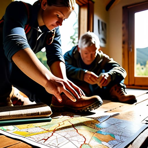
Now, I don’t mean you need a massive town hall meeting to get this moving. In my experience, you just need a small, focused group—ideally six people with different strengths. You’ll want one person who is good with a map, someone who can handle the paperwork, and a couple of others who aren’t afraid to walk the actual ground. Once you have your core group, your first real task is to get your hands on the local authority definitive map. This is the “source of truth” held by the council, and it’s the starting point for any serious public footpath identification. Without it, you’re just guessing where a path might be based on old hearsay.
Once you have that map in front of you, it’s time to get your boots muddy. You can’t rely solely on what a piece of paper says; you have to physically walk the line. This is where you’ll be checking bridleway status and looking for signs of use, like worn grass or old gateposts. If the map says a path exists but there’s a new fence or a hedge blocking the way, you’ve found your first project. Don’t let that discourage you, though—that’s exactly why we keep these records.
Decoding the Local Authority Definitive Map for Your Street
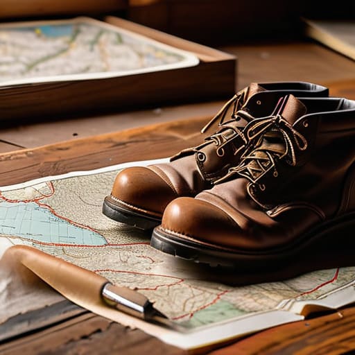
Now, this is where the real legwork begins. You can’t just rely on a casual stroll to decide what is and isn’t a legal path; you need the hard evidence. Every council maintains a local authority definitive map, and it is essentially the “bible” for walking route legal access in your area. I spent years in local government, and I can tell you, these maps are the only thing that holds weight when a developer or a stubborn landowner tries to claim a path is merely a private driveway.
Don’t be intimidated by the jargon. I usually suggest one person from your committee takes the lead on checking bridleway status versus standard footpaths, as the rules for horses and cyclists are quite different. You’ll want to cross-reference these official records with the land registry property boundaries to see exactly where a person’s garden ends and the public’s right begins. It’s a bit like detective work, really, but once you have those papers in hand, you aren’t just a group of neighbors making noise—you are a committee with the facts.
Mastering Public Footpath Identification and Walking Route Legal Access
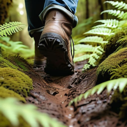
Once you’ve squinted at those maps until your eyes ache, it’s time to actually get your boots on the ground. You cannot rely solely on a digital screen; you need to physically verify the path. When you’re out there, pay close attention to the terrain. Is it a clear track, or is it being swallowed by brambles? This stage of public footpath identification is where most groups stumble because they assume the map is gospel. I’ve seen countless committees lose momentum because they didn’t realize a “path” on paper had been turned into a private garden hedge by a neighbor over the last twenty years.
While you’re walking, keep a sharp eye on the signage. It is vital to spend a little time checking bridleway status if your route looks wider than a standard pedestrian track. A bridleway allows horses and cyclists, which changes how your committee might approach issues like maintenance or local usage. If you find a gate that won’t budge or a hedge that’s been illegally cut back, don’t just grumble about it over tea. Document it, take a photo, and prepare for the formal process of reporting obstructed paths to the council. It’s tedious, yes, but it’s the only way to ensure your walking route legal access remains permanent.
Checking Bridleway Status and Navigating Land Registry Property Boundaries
Now, don’t go assuming every path is just for walking. If you see a track that looks wider, or perhaps a bit more worn by horses, you’ll need to focus on checking bridleway status specifically. A footpath is one thing, but a bridleway grants access for horses and cyclists too, which changes how you might approach a local council if someone decides to block it with a gate. I’ve seen many a good walking route lost because a committee didn’t realize they were actually standing on a bridleway with different legal protections.
Once you’ve confirmed the type of path, you have to look at the edges. This is where things get a bit fiddly. You’ll want to cross-reference your findings with the land registry property boundaries to ensure the path hasn’t been “nibbled” away by a neighbor’s new fence or a stray hedge. I once spent a whole afternoon in a dusty archive looking at old deeds because a hedge had crept six inches into a known track. It’s tedious, I know, but if you don’t pin down exactly where the public land ends and the private garden begins, you’ll have no leg to stand on if a dispute arises.
Taking Action Reporting Obstructed Paths to Reclaim Your Space
Once you’ve done the legwork and confirmed that a path is indeed a legal right of way, you’ll often find the actual ground tells a different story. It’s common to find a gate padlocked shut or a hedge grown so thick it’s practically a wall. This is where most groups lose heart, but this is exactly when you need your committee to step up. Don’t just complain about it over the garden fence; start reporting obstructed paths formally to the council. I’ve seen many a good effort wither because people thought a polite letter was enough, but you need a paper trail.
When you lodge your report, be incredibly specific. Don’t just say “the path is blocked”; tell them exactly where the obstruction sits in relation to the local authority definitive map you’ve been studying. If you have photos of the blockage, attach them. If you can, get three or four members of your committee to send similar reports in the same week. It’s much harder for a busy officer to ignore a coordinated surge of correspondence than a single, lonely email. Consistency is what turns a nuisance into a priority.
From Paper to Pavement Turning Maps Into Community Change
Once you have the paperwork sorted, you can’t just sit around the kitchen table admiring your findings. All that work on the local authority definitive map is useless if it stays tucked away in a folder. I’ve seen so many lovely neighborhood initiatives fizzle out because people got stuck in the “research phase” and never actually stepped outside. You need to take those maps and get your committee out onto the actual ground. Walk the line, mark the gates, and see the path for yourselves.
This is where the real magic happens. When you move from studying land registry property boundaries to physically standing on the trail, you stop being a group of hobbyists and start becoming a community force. Use your findings to host a “walk and talk” for the neighbors. It’s much harder for someone to ignore a community’s needs when they see a group of six organized people pointing out exactly where a hedge has encroached or where a sign has fallen. Action is the only thing that turns a map into a movement.
Five Practical Lessons from the Paper Trail
- Don’t trust your memory; trust the map. I’ve seen many a neighborhood dispute settled simply because someone actually bothered to pull the physical Definitive Map from the council archives rather than relying on what they “think” the boundary is.
- Get a boots-on-the-ground verification. Once you have the map in hand, walk the line with your committee. If the map says there’s a path but there’s a new fence in the way, you’ve found your first piece of evidence.
- Keep a “Path Diary” for your group. If you find an obstruction or a change in status, write down the date, the weather, and exactly what you saw. When you eventually go to the local authority, having a dated log makes you much harder to dismiss.
- Look for the “ghost paths.” Sometimes a right of way isn’t clearly marked on modern digital maps, but old parish records or historical tithe maps show a clear pattern of use. These old documents are gold dust for proving a path has existed for generations.
- Coordinate your findings with the neighbors. If you find a discrepancy in a right of way, don’t go it alone. If three different households all report the same issue using the same evidence, the council is far more likely to take your committee seriously.
The Paperwork of Progress
You don’t need a legal degree to reclaim a path; you just need the patience to look at a map and the courage to realize that what’s written in a dusty council file is often more powerful than a ‘No Trespassing’ sign.
Deborah Castellanos
The Road Ahead
We have covered a lot of ground, from squinting at the Definitive Map to the more practical business of checking Land Registry boundaries and reporting obstructions. It can feel like a mountain of bureaucracy, but remember that you aren’t just chasing lines on a map; you are reclaiming the physical history of your neighbourhood. By coordinating your six-person committee to cross-reference official records with what you actually see on the ground, you move from being mere observers to being the custodians of your local landscape. Don’t let a missing footpath or a blocked bridleway become the new normal just because nobody bothered to check the paperwork.
At the end of the day, these paths are the veins of a community, connecting us to the land and to each other. It is easy to feel small when facing a local authority, but I have seen time and again that persistence beats bureaucracy every single time. Once you have the facts in your hands and your committee is standing firm, you aren’t just a group of neighbours anymore—you are a force to be reckoned with. So, grab your boots, get your notes in order, and start walking. Your street is waiting for you to take it back.
